Chuy / Ala Archa
Adygene Valley Loop
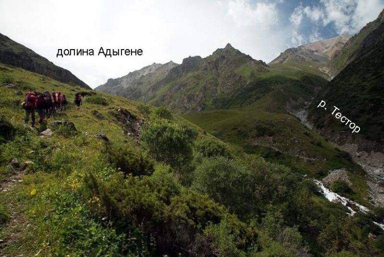
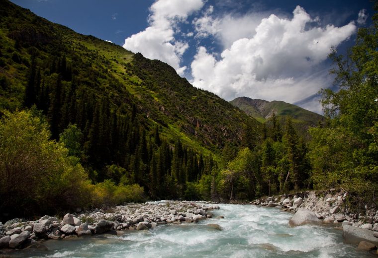
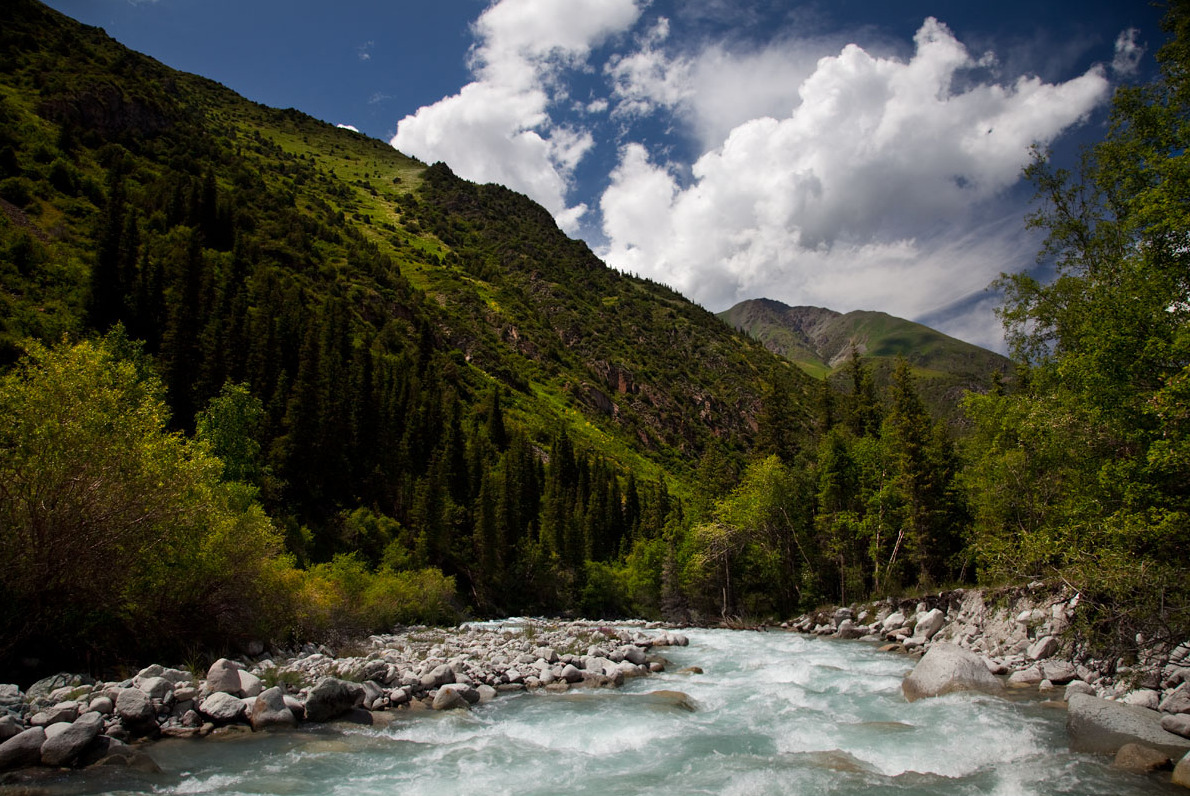
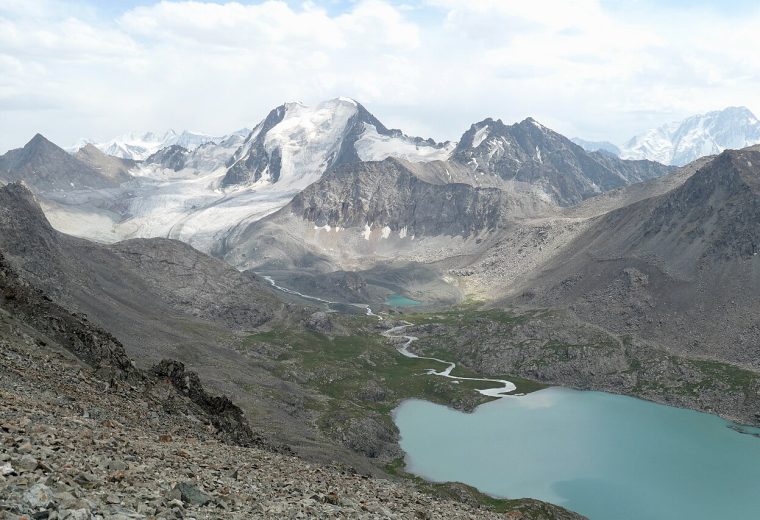
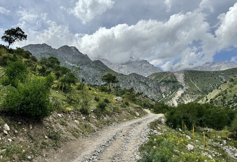
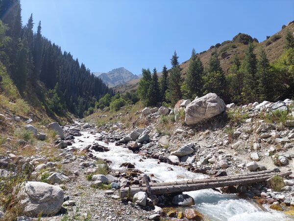
A loop through the Adygene Valley in Ala-Archa. The route explores the valley below the upper lake basin.
KYRGYZSTAN TRAVEL GUIDE
Plan your trip with route maps, GPX tracks, sights and practical travel guides. Routes: 179 With GPX: 135
The photo could not load. Its source is linked below.
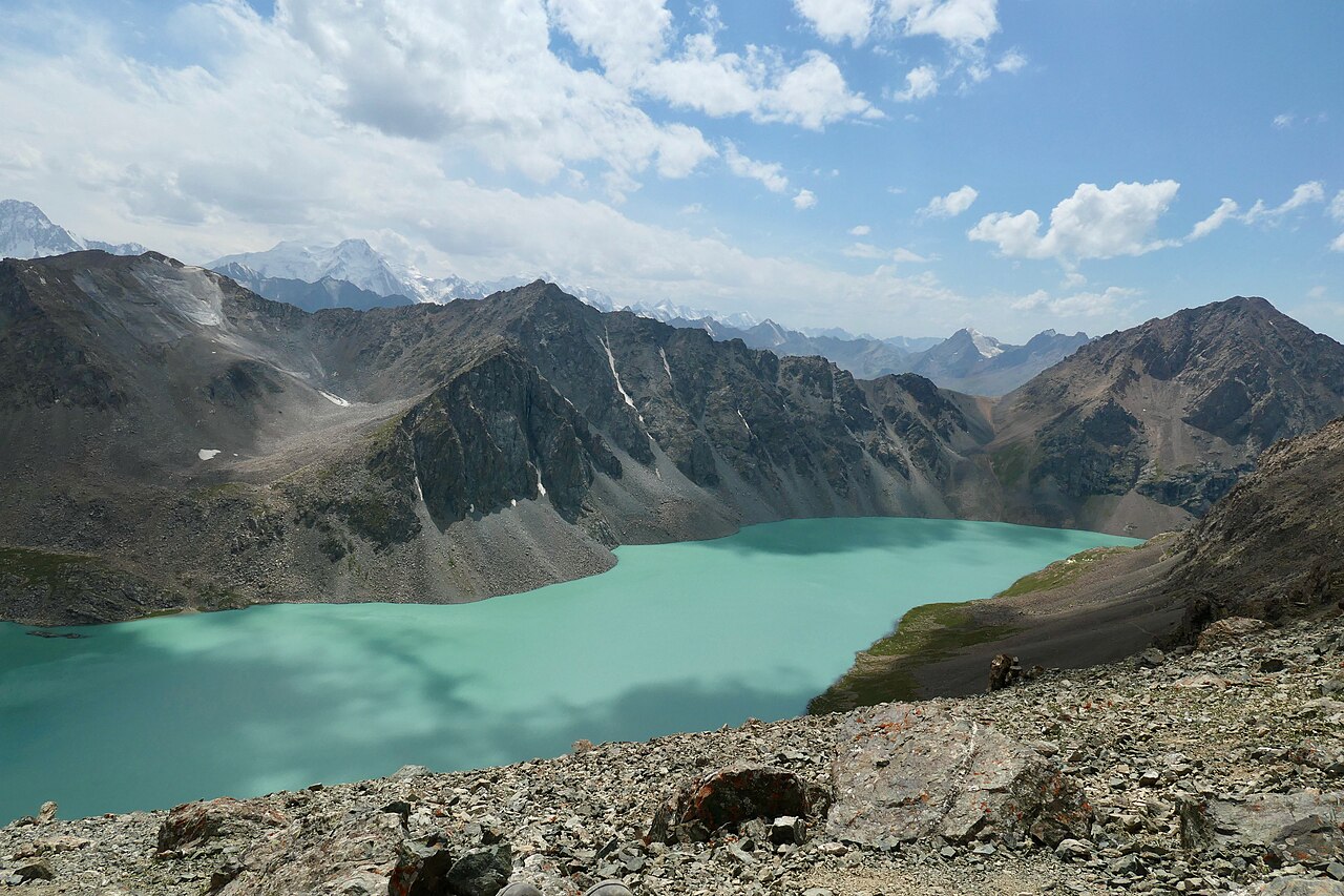
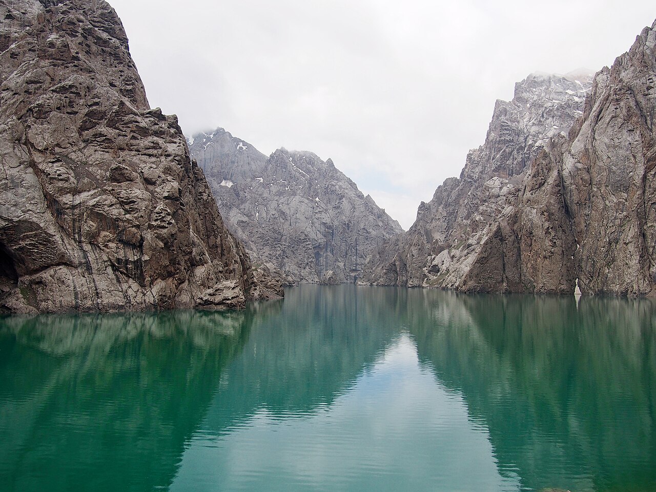
A still turquoise lake between sheer limestone walls. This secluded corner of Naryn reveals a different side of Kyrgyzstan’s high mountains.
Original photograph · CC BY-SA 4.0
Displayed with a responsive crop.
INTERACTIVE MAP
Hover over a point for a preview, then open its route or place. Tap a point on your phone.
Loading the map…
TRAVEL ACTIVITIES
DESTINATIONS
ROUTE CATALOGUE
Chuy / Ala Archa
A loop through the Adygene Valley in Ala-Archa. The route explores the valley below the upper lake basin.
Chuy / Ala Archa
A mountain trail through the Adygene Valley towards its high lakes. The GPX includes a branch, so check which sections belong in your itinerary.
Chuy / Alamedin
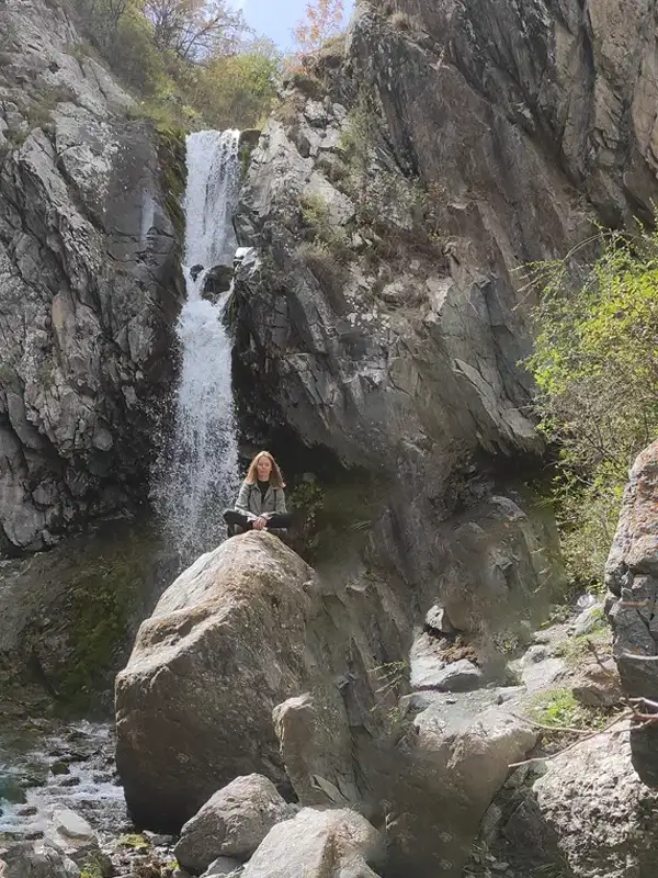
An approach to Teketor Waterfall in the mountains south of Bishkek. The track covers the outward trail; plan the return separately.
PLAN YOUR TRIP
Read about seasons, transport, accommodation and mountain preparation before choosing your route. Allow time for transfers and changes in the weather.
Start planning your trip →
TRAVEL GUIDES
Kyrgyzstan
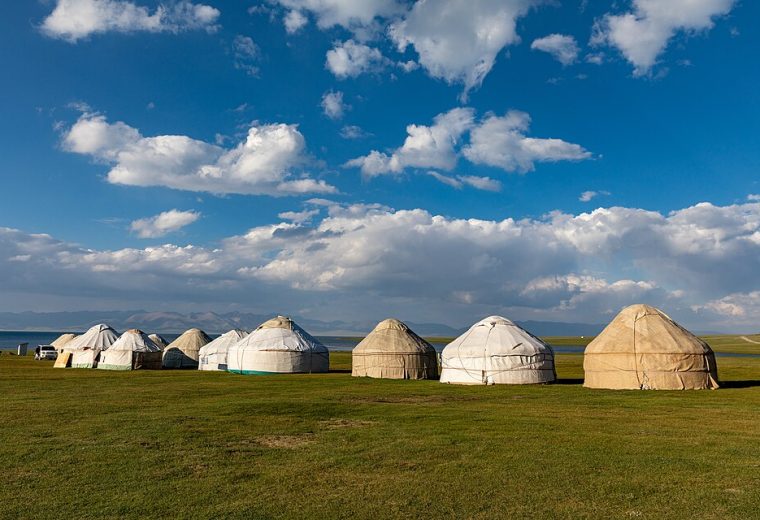
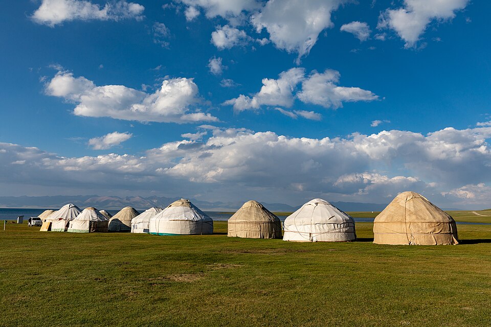
Prepare for a yurt stay in Kyrgyzstan: choose the setting, check bedding and meals, arrange the transfer, pack for the night and respect your hosts.
Kyrgyzstan
Plan your Kyrgyzstan travel budget with published USD prices for cars, motorbikes, bicycles, horses, guides, yurts and camping gear, plus worked trip budgets.
Kyrgyzstan
Choose when to visit Kyrgyzstan by region and activity: a monthly guide to mountain trails, Issyk-Kul, city stays, seasonal camps and flexible plans.